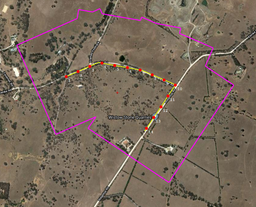
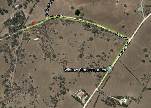
With our flight planning software, you can create or import a poly-linear (or path) flight plan. These flight plans are suited to carry out aerial mappings used to outline a road, border terrain, coastline, or some other linear object.
Watch our short video demonstrating how to create a poly-linear/path flight plan using our path drawing tool:
There are 3 simple steps to creating a path flight plan.
– Draw the flight plan with the path drawing tool
– Input your camera parameters of the camera you’re using
– Input your imaging parameters
Once that is done the poly-linear flight plan will be generated within a few seconds.

Now you can make adjustments to your plan if necessary, or you may begin exporting it to your chosen flight management system.
For a more in-depth article about creating a path flight plan, click here. If you’re interested in our flight planning software, please contact us or request a demo.


