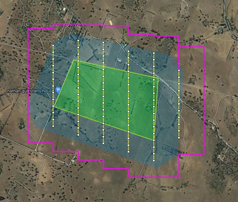
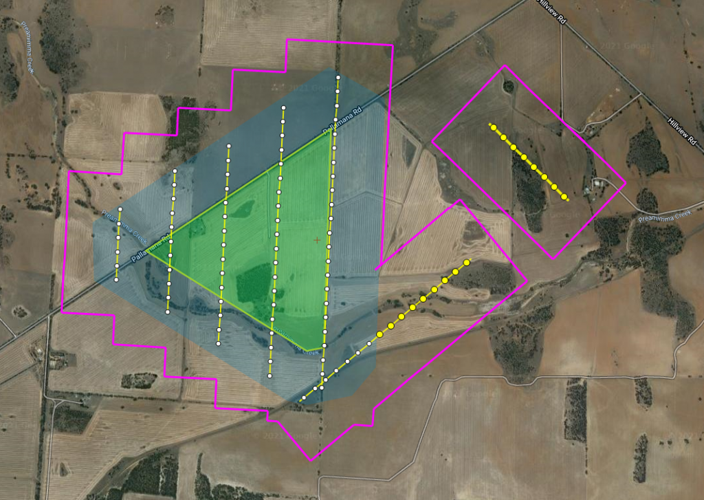
We have released a new short video which succinctly describes how we help aerial surveyors with our aerial mapping flight management & airborne camera control system. Check it out!
The AeroScientific flight management system provides the perfect solution for your aerial photography needs. This system includes flight planning, capturing images, and logging metadata in a range of formats.
It has everything you need to control small and medium format cameras from the cockpit of manned aircraft.
This award-winning lightweight and portable system deliver hardware and software which is user-friendly and accurate. The system easily integrates with all leading GPS and IMU systems and can be used with both stabilized and non-stabilized mounts.
It can be fitted to a wide range of manned aircraft from gyrocopters and light sport aircraft to heavy twins. Unlike other systems, the AeroScientific flight management system is compact and easy to install.
The system records a full set of metadata for every image acquired as well as providing the complete GPS and IMU logs of every flight.
AeroScientific has partnered with world-leading camera manufacturers, such as PhaseOne, to produce the best airborne imaging technology. Our system is also compatible with a wide range of small and other medium format cameras.
Used by aerial surveyors and airborne camera operators throughout the world the AeroScientific flight management system has been designed by pilots for pilots. Alongside partnering with world-leading optics and sensors, this ensures you will attain the highest possible image quality on every survey flight.
Demo one of our products or contact us for more information.


